|
 |
TIGER/Line in routing
 |
|
There are a few, but serious problems with TIGER data, if you want to use it for routing. In general TIGER is not suited,
because it lacks information about one-way streets and there is no information about overpasses (see example 2).
So TIGER can only be used for routing if:
1) You just want drive distances or drive times
2) You are not going to show routes on a map
3) You do not need driving directions
4) You do not care about some errors (a few critical highway sections missing now and then)
If you only work with a smaller area and do not mind doing some manual updates, it is of course possible
to overcome some of these problems.
So before you start off designing a large project based on free TIGER data, you should carefully consider whether you can make do with TIGER or need
data from a commercial street database vendor.
If you still find TIGER interesting, you can use our free tool for converting the data into MIF/SHP/TAB/GML2 format. Find it at the download page.
It supports all TIGER versions from 1997-2006.
Data from 2007-2009 are supplied as SHP files for one county at a time.
Get the TIGER data itself from the Census Bureau.
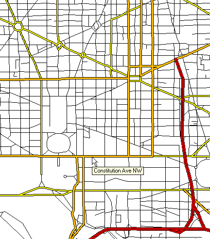
Here is an example from Washington DC:
|
|
|
|