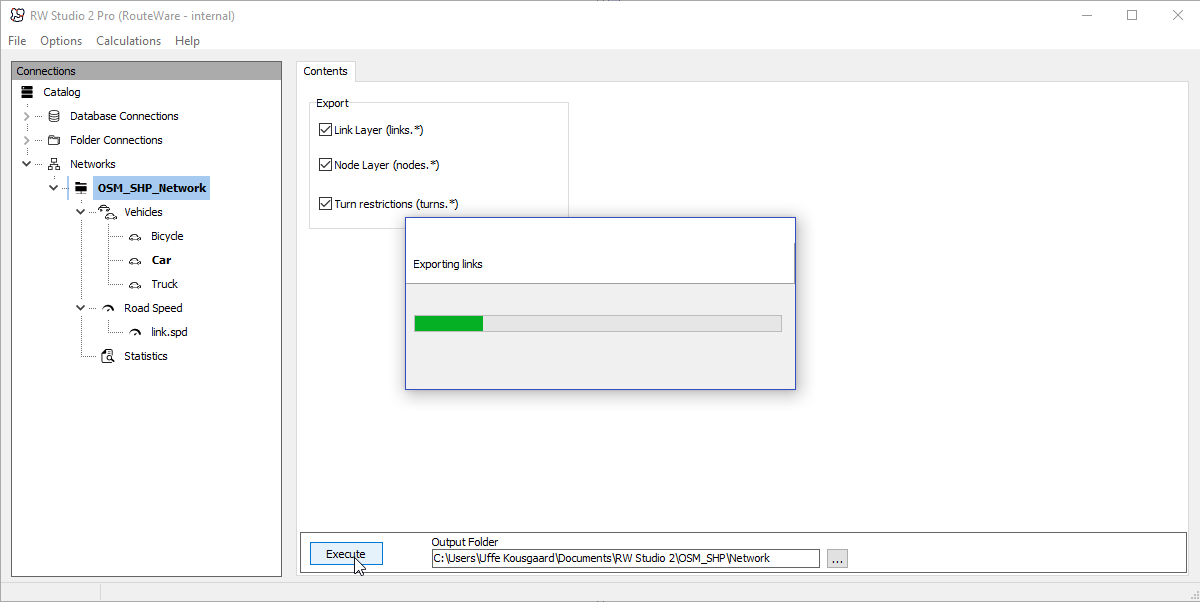
This function will export the street network back to the GIS format chosen.
•Links
This closely matches the original input data, except information from the attribute field is also stored as individual pieces
of information and is easier to use for thematic mapping.
Information about Cul-De-Sac is also included as true / false.
•Nodes
The node layer simply returns a new layer with all nodes in the network and their degree.
Degree is the number of links connected to the node. Creating a thematic map on the degree can be helpful in locating problems.
Degree = 1 means a dead-end. Make sure they are where you expect them.
•Turn restrictions
If you have any turn restrictions, this allows you to export them in a format, which makes it easier to check them visually.