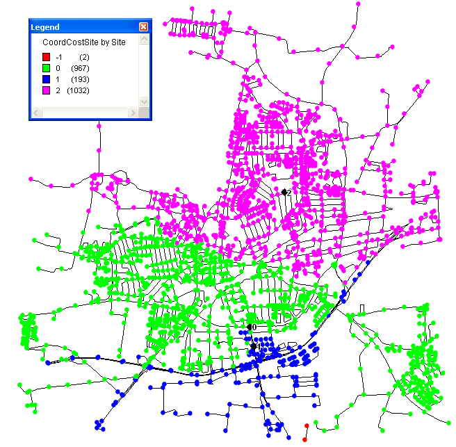
This function is mostly for debugging purposes. It allows you to export the content of PG to 2 GIS files, so both facilities (startpoints) and the main data (CoordCostSiteList) are shown. Files called StartPoints and CoordCostSite are generated as specified in the same folder as the main network files.
Syntax: ExportPolyGeneration(filename: string; GF: TGISformat; PG: TPolyGeneration)
Example: ExportPolyGeneration("test", gfSHP, PG) will generate files test_startpoints.shp and test_coordcostsite.shp.
Example with 3 start points and thematic map of nearest facility: